Thursday April 20, 2023 6:30pm - 7:30pm (1 Hour)
Lecture / Seminar
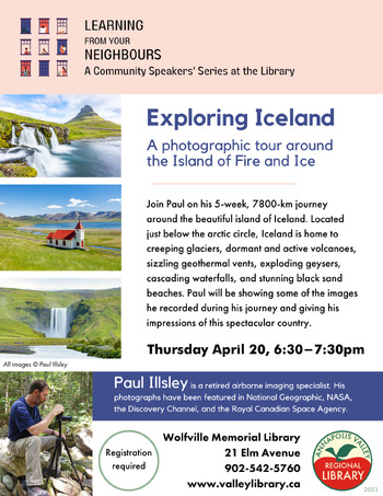
Exploring Iceland. A photographic tour around the Island of Fire and Ice
Join Paul on his 5-week, 7800 km journey around the beautiful island of Iceland. Located just below the arctic circle, Iceland is home to creeping glaciers, dormant and active volcanoes, sizzling geothermal vents, exploding guizers, cascading waterfalls and stunning black sand beaches. Paul will be showing some of the images he recorded during his journey and giving his impressions of this spectacular country.
Paul Illsley is a retired airborne imaging specialist in the Applied Research department at COGS where he was responsible for piloting and maintaining advanced drones containing Viable Spectrum, Multispectral, Hyperspectral, Thermal imaging sensors as well as active LiDAR laser mapping systems. He holds an Advanced Operations drone pilot's certification from Transport Canada. In addition to his photographic, cartographic and research imaging experience (National Geographic, NASA, Discovery Channel, Royal Canadian Space Agency and more), Paul has served as a reconnaissance specialist with the Canadian Armed Forces Reserves and holds certifications in both parachuting as well as SCUBA diving. Paul enjoys free time activities such as kayaking, hiking and nature photography. See more at www.paulillsley.com
Space is limited so please register in advance.
Pricing & Tickets
Pricing: Free

